Basic Tips for Hiking
Paricutín Volcano
A full-day trek across a frozen lava field, past the ruins of a buried church, and up the steep flank of a cinder cone — what to expect, what to bring, and how to prepare for one of Mexico’s most remarkable hikes.
- Starting Point
- Angahuan
- Distance (RT)
- ~20 km
- Duration
- 8 – 10 hrs
- Crater Elevation
- 3,170 m
- Difficulty
- Moderate–Hard
- Best Season
- Nov – Apr
Understanding What You Are Getting Into
Hiking Paricutín Volcano is not a casual afternoon walk. It is a full-day physical commitment that crosses several kilometers of one of the most difficult surfaces imaginable — a vast field of sharp, broken, volcanic basalt — before ascending a steep and unstable cinder cone to a summit above 3,000 meters. The hike rewards preparation and punishes underestimation.
That said, the route does not require technical climbing skills, ropes, or special mountaineering experience. People of average fitness who arrive properly equipped and mentally prepared complete it successfully every day. The key is knowing what the terrain demands and not treating it as a simple nature walk.
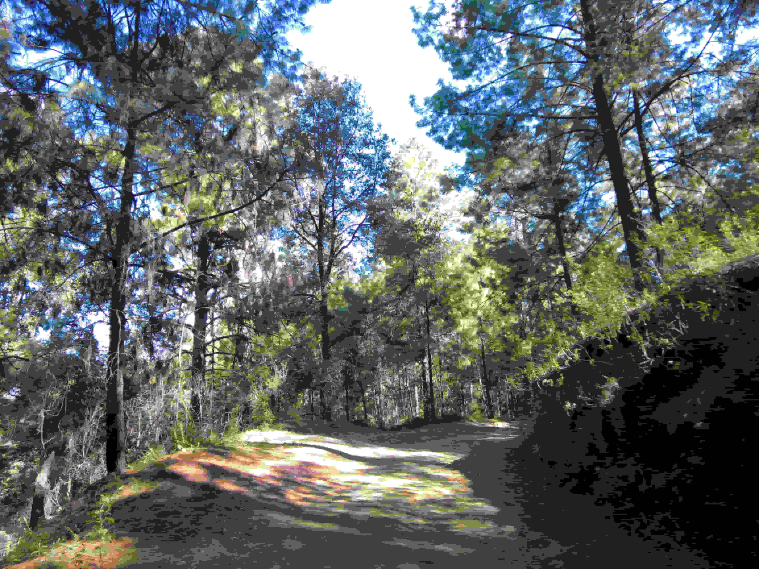
The route from the town of Angahuan passes through a pine forest, crosses the malpais — the hardened lava field — visits the famous ruins of the buried church of San Juan Parangaricutiro, and then continues to the base and summit of the volcano itself. Some visitors choose to stop at the church ruins and turn back; that is a perfectly valid option and still provides an extraordinary experience.
“The lava field does not forgive sandals, weak ankles, or a late start. Come prepared, and you will have one of the best days of your life.”
— Common advice from Angahuan guides
Getting to Angahuan: The Gateway Town
All hikes to Paricutín begin in Angahuan, a Purépecha indigenous community located approximately 35 kilometers northwest of the city of Uruapan in Michoacán. Uruapan is the closest major city and the most practical base for the trip. It is well connected by bus from Morelia, Guadalajara, and Mexico City.
From Uruapan, local buses run regularly to Angahuan and the journey takes approximately 45 minutes to one hour. Taxis and private transport are also available. If you are driving, follow the highway toward Los Reyes and look for signed turnoffs toward Angahuan. The road is paved all the way to the town.
It is strongly recommended to spend at least one night in Uruapan before attempting the hike. This gives your body time to begin adjusting to the altitude of the region — Uruapan itself sits at around 1,600 meters — before you climb significantly higher. Arriving in Angahuan at dawn after a late overnight bus from a coastal city is not an ideal way to start this particular trek.
Guides, Fees, and Access Rules
Hiring a local guide is mandatory, not optional. The Purépecha community of Angahuan controls and manages all access to the Paricutín site, and the guiding operation is their primary source of income from tourism. Guides meet visitors at the access point at the edge of town and are assigned on a rotating basis to ensure fair distribution of work among community members.
Your guide will accompany you for the full duration of the hike. Most Angahuan guides know the terrain intimately and can share the history of the eruption, the story of the buried towns, and the cultural significance of the church ruins. Their knowledge of the landscape is practical as well as historical — the lava field has no marked trail, and disorientation is a genuine risk for those who venture out unaccompanied.
Entry fees are paid at the access point and are set by the community. The fees are generally modest by international standards. Additional charges apply for horse rental. Cash is the only accepted form of payment — there are no card readers or ATMs in Angahuan, so withdraw money in Uruapan before you travel.
Do not attempt to enter the lava field or hike toward the volcano without a guide. Doing so is disrespectful to the community that manages the site, potentially dangerous due to the unmarked terrain, and may result in being turned back by local authorities.
Horses: A Practical Option for Part of the Route
Horses are available for hire in Angahuan and are widely used by visitors who want to cover the long crossing of the lava field without exhausting themselves before they even reach the volcano. Riding is an efficient way to travel from Angahuan to the church ruins of San Juan Parangaricutiro, a distance of approximately 8 kilometers across the malpais.
However, horses cannot ascend the volcanic cone. The final climb to the crater rim is steep, loose, and covered in cinders and scoria that make it unsuitable for animals. Any visitor wishing to reach the summit must complete that section on foot regardless of whether they rode to the base of the cone.
Many visitors choose a combination approach: ride to the church ruins, take in the site, and then either ride to the base of the volcano and hike up on foot, or turn back after the church if they feel the full summit is beyond their energy or time constraints. Both options are entirely legitimate and both involve seeing the most iconic landmark of the Paricutín eruption.
What to Wear and What to Carry
Your footwear is the single most important piece of equipment you will bring. The lava field is covered in irregular, sharp-edged blocks of solidified basalt that shift and roll underfoot. Flat-soled shoes, sneakers, sandals, or flip-flops are genuinely dangerous on this terrain. You need hiking boots — ideally with ankle support and a thick, grippy sole. Blisters and ankle sprains are the most common ailments suffered by underprepared visitors.
Clothing should be layered. The valley and forest sections may feel warm, especially in the morning sun, but the temperature near the crater rim can be ten to fifteen degrees cooler, and wind chill adds further cold. A base layer, a mid-layer fleece or wool sweater, and a lightweight waterproof jacket cover the full range of conditions you are likely to encounter in a single day.
Carry at least two liters of water per person from the start. There is no water available on the route, and the combination of altitude, physical exertion, and sun exposure makes dehydration a real risk. High-energy snacks — nuts, dried fruit, energy bars, a packed lunch — are equally important. There is nowhere to purchase food after you leave Angahuan.
- Sturdy hiking boots with ankle support
- Layered clothing: base layer, mid-layer, waterproof shell
- Minimum 2 liters of water per person
- Packed lunch and high-energy snacks
- Sunscreen — SPF 50 or higher
- Wide-brimmed hat or sun cap
- Trekking poles (highly recommended)
- Small daypack or backpack
- Camera or fully charged phone
- Cash in Mexican pesos for fees and tips
- Basic first-aid supplies: blister pads, pain relief, bandages
- Headlamp or flashlight as backup
Altitude: What to Expect and How to Prepare
The Paricutín hike takes you to an elevation of approximately 3,170 meters above sea level at the crater rim. The lava field itself ranges from about 2,500 to 2,800 meters. For visitors arriving from low-altitude cities — coastal areas, or Mexico City’s lower districts — this represents a meaningful increase in elevation, and some degree of physical response is common.
Mild altitude symptoms include headache, light-headedness, shortness of breath during exertion, and a general sense of fatigue that is disproportionate to the effort being made. These symptoms are normal at this elevation for unacclimatized visitors and typically pass within a day or two of arrival. They are not dangerous at 3,000 meters for otherwise healthy individuals, but they can make the hike significantly more uncomfortable if you are not prepared for them.
The best preventive measure is acclimatization time. Spending at least one night in Uruapan before the hike allows your body to begin adjusting. Staying well hydrated in the days before and during the hike is also important — dehydration worsens altitude effects. Avoid alcohol the evening before your hike. Move at a steady, unhurried pace on the ascent and do not try to race the cone.
If you experience severe headache, vomiting, significant confusion, or difficulty walking in a straight line, descend immediately and seek medical attention. These are signs of more serious altitude illness and should not be ignored.
Timing Your Hike: Start Early and Respect the Weather
The single most important logistical decision you can make about this hike is to start early. Aim to be leaving Angahuan no later than 7:00 in the morning, and earlier is better. A 6:00 AM departure is ideal. The reasons are practical and important.
The hike is long. The full round trip to the crater rim and back takes eight to ten hours at a normal hiking pace. Starting late means finishing in the dark, which on a lava field without a marked trail is a serious hazard. Even with a headlamp, navigating the malpais after sunset is far more difficult and dangerous than doing so in daylight.
During the rainy season — roughly June through October — afternoon thunderstorms are a near-daily occurrence in Michoacán’s highlands. These storms can develop quickly and bring heavy rain, lightning, and a dramatic drop in temperature. Being on the exposed cone or the open lava field when a storm rolls in is dangerous. Starting early means you have a much better chance of completing the ascent and beginning your descent before the storms arrive.
The best time of year for the hike is the dry season, from November through April. During these months the skies tend to be clearer, the trail is drier, and the days are more predictable. February and March are particularly popular months, coinciding with the anniversary of the volcano’s birth.
The Summit Climb: What the Crater Ascent Is Actually Like
The climb from the base of the cone to the crater rim is short in distance but demanding in character. The slope is steep — approaching 35 degrees in some sections — and the surface underfoot is composed of loose cinder and scoria: volcanic fragments that slide back with each step, making forward progress feel twice as hard as the distance suggests.
Most people find that for every two steps they take upward, they slide back approximately one step. This is not a solvable problem — it is simply the nature of a cinder cone surface. The best technique is to take short, deliberate steps, place your foot flat rather than toe-first, and use trekking poles aggressively if you have them. Do not rush. Steady, rhythmic movement conserves energy far better than bursts of speed followed by resting.
At the top, the crater rim offers a panoramic view of the surrounding Michoacán highlands, the solidified lava field spreading out in all directions, the pine forests on the margins, and — on clear days — other volcanic peaks in the distance. The crater itself is a rough, irregular depression of dark volcanic rock. The sulfurous smell that once defined the site is largely absent now, as the volcano has been dormant since 1952.
The descent is faster than the ascent and easier on the muscles, though it demands care to avoid slipping. Some hikers find it easiest to use a broad, sliding step downward, letting the loose cinder cushion each pace. Trekking poles remain useful for balance.
Respecting the Site and the Purépecha Community
Paricutín is not simply a geological attraction. The land around it is the ancestral territory of the Purépecha people, and the ruins of San Juan Parangaricutiro represent a community that was displaced, a way of life that was interrupted, and a cultural memory that has been carefully maintained across generations. Visitors are guests on this land, and conduct should reflect that.
At the church ruins, speak quietly, do not climb on the walls, and be mindful that local people may be present for reasons of prayer and pilgrimage rather than tourism. Leave nothing behind — carry out all your waste, including food packaging and bottles. Do not chip or remove fragments of lava, cinder, or stone from the site as souvenirs.
Pay your guide fairly and tip generously. The income that guides earn from visitors is a direct benefit to the community that has managed this remarkable site for decades. If your guide went beyond expectations — and many of them do — acknowledge it.
Questions & Answers About Hiking Paricutín
How do I get to the starting point for the Paricutín hike?
The hike begins in Angahuan, a Purépecha town about 35 kilometers northwest of Uruapan in Michoacán. From Uruapan you can take a local bus or taxi to Angahuan — the journey takes approximately 45 minutes to one hour. If driving, follow the road toward Los Reyes and watch for signed turnoffs to Angahuan. The road is paved all the way to town. Uruapan is well connected by long-distance bus from Morelia, Guadalajara, and Mexico City and is the most practical base for the trip.
Do I need a guide to hike Paricutín?
Yes, a guide is required. The Purépecha community of Angahuan manages all access to the site and provides guides on a rotating basis. This is both a safety requirement — the lava field has no marked trail and is easy to get lost on — and a way of ensuring that tourism income benefits the community directly. Your guide will accompany you for the full duration of the hike.
How long does the full hike to the crater take?
The full round trip from Angahuan to the crater rim and back takes approximately 8 to 10 hours on foot at a moderate pace. Most visitors depart between 6:00 and 8:00 in the morning to ensure they complete the hike in daylight. Stopping at the church ruins rather than continuing to the summit reduces total time to roughly 5 to 6 hours round trip.
Can I ride a horse instead of hiking?
Horses are available in Angahuan and are a popular option for crossing the lava field to the church ruins. However, the final ascent to the crater rim must be done on foot — the terrain is too unstable and steep for horses. Many visitors combine both: ride to the church ruins, then hike the summit section on foot. Horse rental fees are paid separately and in cash.
Should I worry about altitude sickness?
The crater rim sits at approximately 3,170 meters above sea level. Mild altitude symptoms — headache, breathlessness, fatigue — are common for visitors arriving from low-altitude areas. Spending at least one night in Uruapan before hiking, staying hydrated, and moving at a slow, steady pace significantly reduces the impact. Avoid alcohol the night before. If symptoms become severe during the hike, descend immediately and do not continue upward.
What footwear is best for the lava field?
Sturdy ankle-supporting hiking boots are essential. The lava field is composed of sharp, irregular basalt blocks that shift underfoot and will cut through light footwear quickly. Sandals, sneakers, and flat shoes significantly increase the risk of ankle injuries and are strongly discouraged. This is not a trail where footwear is a matter of comfort — it is a matter of safety.
What is the lava field actually like to walk across?
The malpais is one of the most challenging surfaces most hikers will ever cross. It consists of hardened volcanic basalt broken into irregular, sharp-edged pieces of all sizes. There is no smooth path. The blocks tip and roll underfoot, and the surface is completely uneven for the entire crossing — approximately 8 kilometers each way. Trekking poles improve stability considerably, and a slow, deliberate pace is more effective than trying to move quickly.
Is the hike dangerous?
The volcano has been dormant since 1952 and poses no eruptive risk. The main hazards are the rough lava terrain (ankle injuries are common without proper footwear), altitude effects, sun and wind exposure, and afternoon thunderstorms during the rainy season. Hiring a local guide, starting early, carrying adequate water and food, and wearing appropriate clothing and boots address the vast majority of risks.
What is the best time of year to do this hike?
The dry season — November through April — offers the most reliable weather and trail conditions. The rainy season from June through October brings near-daily afternoon thunderstorms that can make the open lava field dangerous and the crater ascent very slippery. If you visit during the rainy season, a very early start — 5:30 or 6:00 AM — is important to give yourself the best chance of finishing the summit section before storms develop.
How much does it cost to hike Paricutín?
Costs include an entry fee to the site and a guide fee, both payable in cash at the access point in Angahuan. Horse rental is an additional charge. Prices are set by the Purépecha community and are generally affordable. There are no ATMs in Angahuan, so bring enough pesos from Uruapan to cover fees, horse rental if desired, and a tip for your guide.
What will I see at the buried church ruins?
The colonial bell tower and parts of the stone nave walls of the old parish church of San Juan Parangaricutiro still protrude from the hardened lava that engulfed the town in the 1940s. The ruins are one of the most visually arresting sights in all of Mexico — an entire church swallowed to its shoulders, preserved in mid-burial. The site is also a place of active Purépecha pilgrimage and should be approached with quiet respect.
